


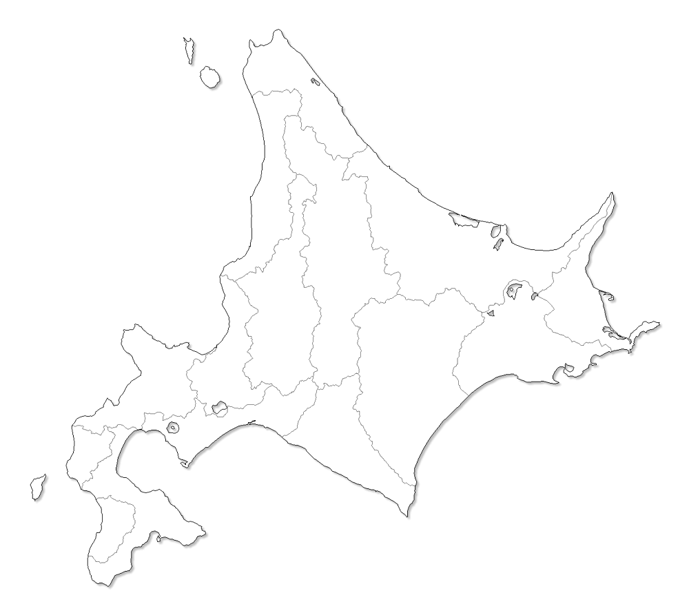
Hokkaido, the northernmost of Japan’s main islands, is known for its volcanoes, natural hot springs (onsen) and ski areas. Rugged Daisetsuzan National Park is home to steaming, volcanic Mount Asahi. Shikotsu-Tōya National Park contains caldera lakes, geothermal springs and a Mount Fuji look-alike, Mount Yōtei. Popular ski resorts include Rusutsu, Furano and Niseko.


Tohoku, a region of Japan’s Honshu Island, is known for its volcanoes, mountainous terrain and skiing. It's home to the tiny, pine-covered islets of Matsushima Bay, and Lake Towada, a huge crater lake renowned for its bright-blue color and surrounding forests. Tohoku's biggest city is Sendai, site of the Osaki Hachimangu Shinto shrine and ornate Zuihoden, the tomb of feudal lord Date Masamune.


Hokuriku region was located in the northwestern part of Honshu, the main island of Japan. It lay along the Sea of Japan within the Chūbu region, which it is currently a part of. It is almost equivalent to Koshi Province and Hokurikudō area in pre-modern Japan.


Koushinetsu region, Central region, or Central Japan is a region in the middle of Honshu Japan's main island. It encompasses prefectures: Yamanashi, Nagano, and Niigata.


Kanto region is a geographical area of Honshu, the largest island of Japan. The region includes the Greater Tokyo Area and encompasses seven prefectures: Gunma, Tochigi, Ibaraki, Saitama, Tokyo, Chiba, and Kanagawa. Within its boundaries, slightly more than 45 percent of the land area is the Kanto Plain.


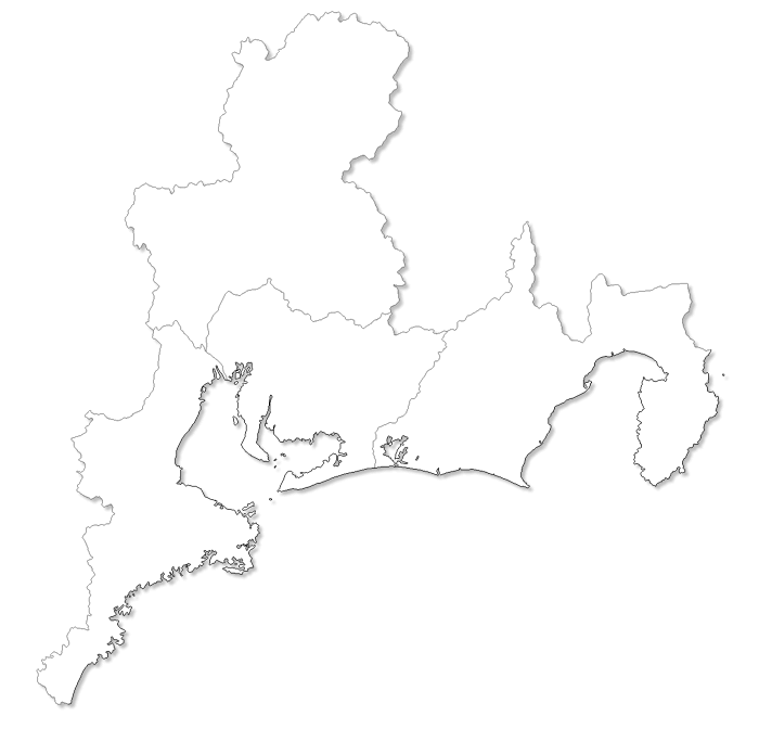
Tokai region is a subregion of the Chubu region and Kansai region in Japan that runs along the Pacific Ocean. The name comes from the Tōkaidō, one of the Edo Five Routes. It encompasses prefectures: Shizuoka, Aichi, Gifu and Mie.


Kansai is a region in the south of Honshu, Japan's main island. In its center is the city of Kyoto, Japan's capital from 794 to 1869. Its canalside Philosopher’s Walk is home to Buddhist temples like Ginkaku-ji, with its pine-framed pond, and Nanzen-ji, with a renowned Zen garden. Directly south is the city of Nara, Japan's 8th-century capital. Nara Park is home to Todai-ji temple and free-roaming deer.


Chugoku region, also known as the San'in-San'yo, is the westernmost region of Honshu, the largest island of Japan. It consists of the prefectures of Hiroshima, Okayama, Shimane, Tottori, and Yamaguchi.


Shikoku is the smallest of Japan’s major islands. It's encircled by a 1,200km, 88-temple Buddhist pilgrimage route (henro) honoring the 9th-century monk Kukai. Shikoku's major cities include Matsuyama, home to 8 of the pilgrimage temples, plus feudal Matsuyama Castle and Dogo Onsen, one of Japan’s earliest known hot-spring spas. The island’s mountainous interior has hiking trails and rivers with whitewater rapids.


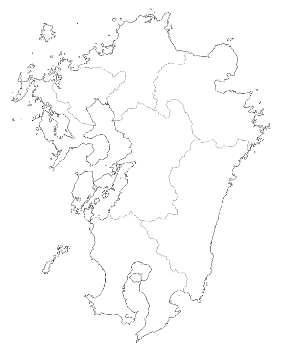
Kyushu, the southwesternmost of Japan’s main islands, has a mostly subtropical climate. It’s known for its active volcanoes, beaches and natural hot springs such as those at Beppu. Its city of Fukuoka is home to museums, mega-malls and Kushida-jinja, an 8th-century Shinto shrine. The city of Nagasaki's 1945 devastation by an atomic bomb is commemorated at the Nagasaki Peace Park and Atomic Bomb Museum.
